RuteKita
- Where
- Personal
- Type
- Greater Jakarta public transport
- Platform
- Android + web
- Stack
- Expo, React Native, MapLibre
(Overview)
Know where the train is, and change to the bus without guessing.
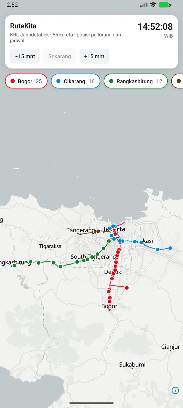
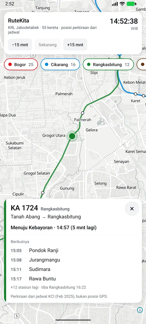
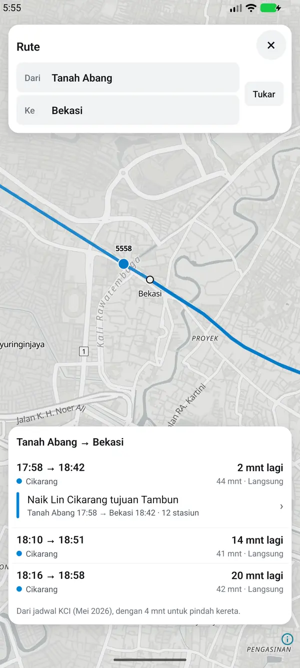
KRL positions show on the map from the timetable, combined KRL and TransJakarta routes come with their fares, and the timetable still opens without internet.
Opening to the public soon through Garasi Lab. Not an official KAI Commuter or Transjakarta app.
Scope
- KRL map
- Combined routes
- Fares
- Offline
- Departure widget
(What it does)
Line map
Every KRL line on one map, with the WIB clock.
Train card
The next stations and their times. Positions are estimated from the timetable, not GPS.
Route search
KRL and TransJakarta routes with departure, arrival, duration, and fare.
Offline
The timetable still opens when the signal drops.
(Up close)
Drag or scroll →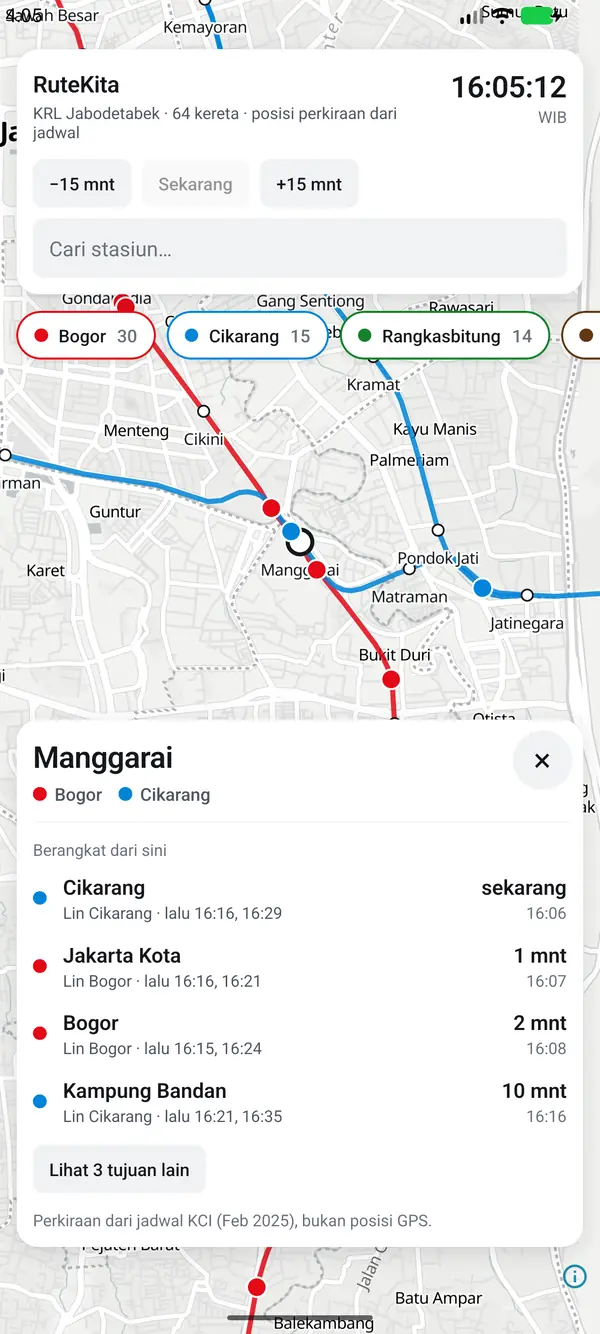
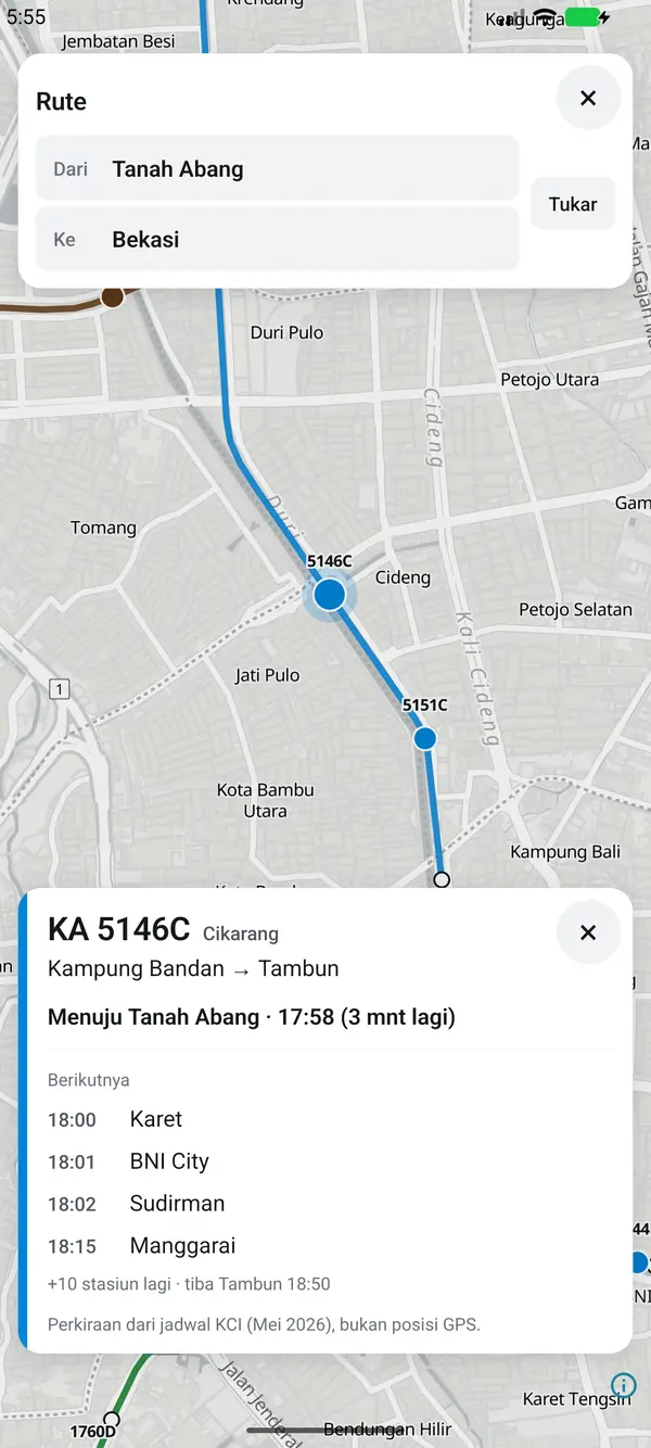
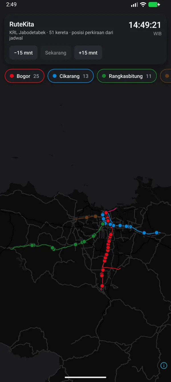
Screenshots of the RuteKita Android app. Map by OpenFreeMap, data © OpenStreetMap contributors. Not an official KAI Commuter or Transjakarta app.
(The build)
Built with Expo and React Native, with maps in MapLibre.
Transjakarta GTFS data (written permission, 17 October 2026) and OpenStreetMap. Map by OpenFreeMap, data © OpenStreetMap contributors.
Greater Jakarta public transport on one map, still working offline.